
LiDAR 3D model taken inside the Hospital Tavera – the model was used to scale the photogrammetry model of the Sepulchre of Cardinal Tavera seen here in the centre of the space © Factum Foundation
LiDAR is used in cultural heritage documentation to produce accurate metrological recordings of large interior or exterior spaces. However, the data does not provide detailed information about the texture (the fine detail) of a surface. Instead, Factum employs LiDAR as a surveying technique that complements other recording methods such as photogrammetry or panoramic photography. The LiDAR data acts as a scaled (accurately measured) digital ‘canvas’ onto which higher resolution 3D or colour scans of the surface can be mounted. When used together with panoramic photography, the 3D data from LiDAR is used to rectify the geometric distortion present in the high-resolution images that are the ‘raw’ output of this particular colour recording technique.
LiDAR data can be manipulated and output in a variety of ways. Factum, for example, used a FARO recording of the Tomb of Seti I to create a digital walkthrough of the magnificent space, shown below:

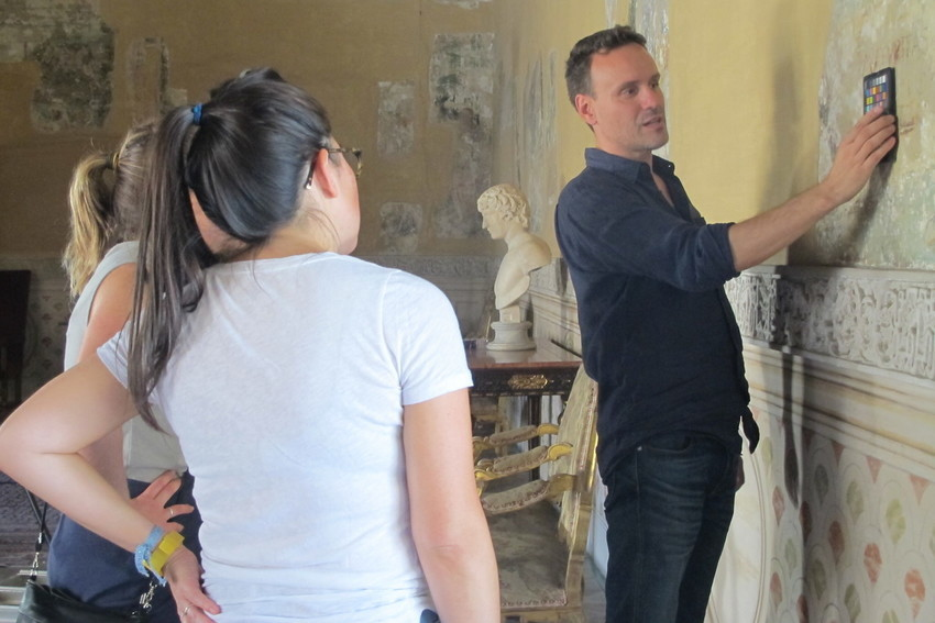
The following set of image sliders show how LiDAR data was gathered at Casa Pilatos for a project that used different scanning methods to collect different types of data about a single site. The LiDAR model was used to scale panoramic photography and photogrammetry data.
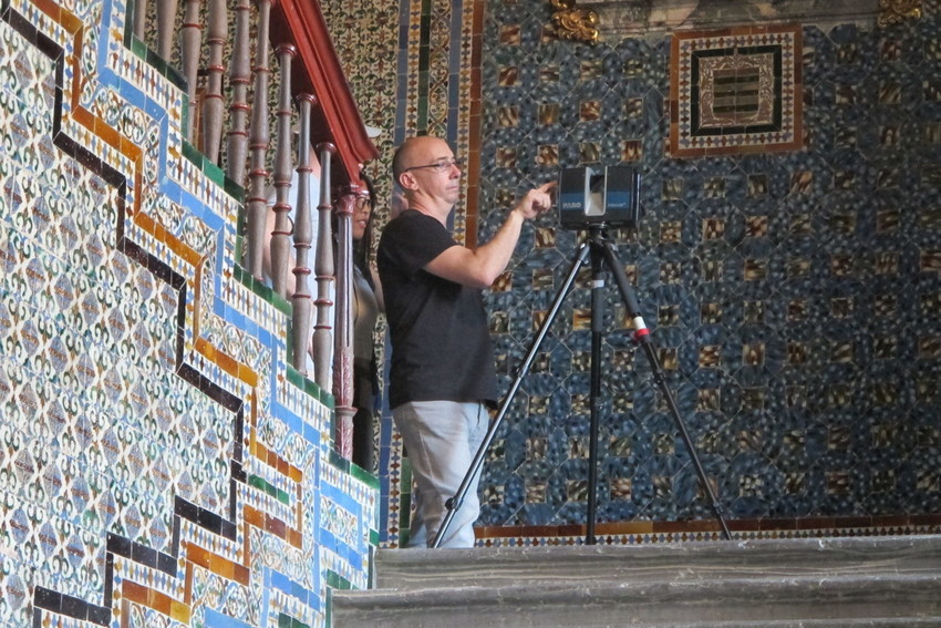
Pedro Miro from Factum Foundation setting up a Faro Focus 3D – a type of LiDAR scanner – to record a space at Casa Pilatos in Seville © Factum Foundation
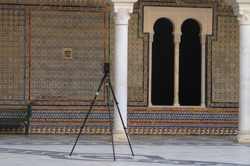
The scanner is placed in the centre of the space and records 3D information in 360

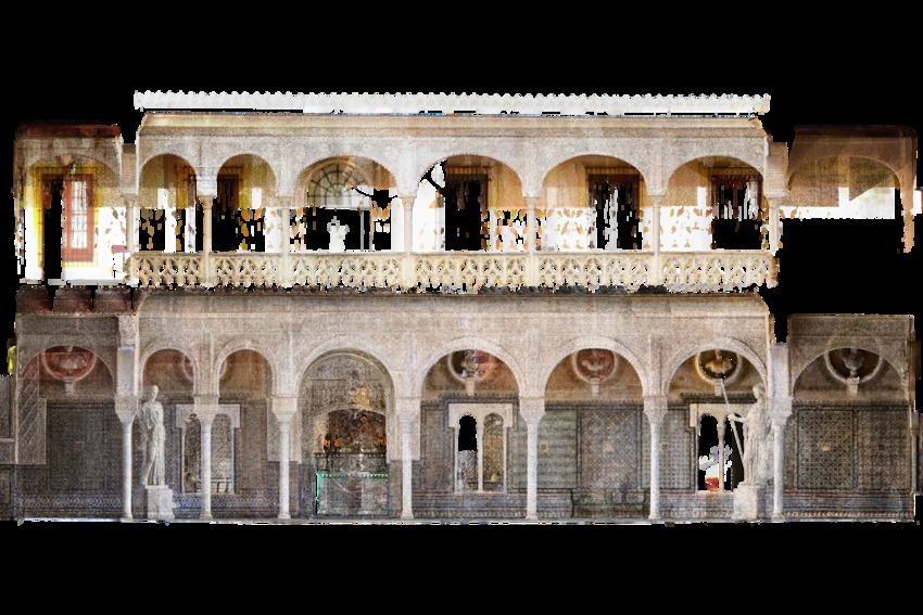
3D LiDAR model of Casa Pilatos © Factum Foundation

3D LiDAR model of Casa Pilatos © Factum Foundation

Orthophoto of the courtyard extracted from the LiDAR data – an orthophoto is a geometrically rectified image that can be used to accurately scale other types of data © Factum Foundation
Panoramic photography data can be scaled and geometrically corrected using orthophots extracted from LiDar data © Factum Foundation
Gabriel Scarpa from Factum in the process of recording colour data – this was later 'mapped' onto a LiDAR orthophoto © Factum Foundation